THE OFFICIAL WEBSITE OF THE GREAT HIMALAYAN NATIONAL PARK
+91 1902 265320
dirghnp@gmail.com
Accessibility
Screen Reader
Decrease Font Size
Default Font Size
Increase Font Size
Home
About
UNESCO World Heritage Site: Great Himalayan National Park
Park Introduction GHNP | Discover Himachal’s Natural Treasure
GHNP history: Journey so far…
People’s Contribution to the Great Himalayan National Park
Facts & Figures about the Great Himalayan National Park
Climate conditions of GHNP
Biogeography of the Great Himalayan National Park | GHNP
Flora and Fauna GHNP – Biodiversity of the Park
Maps of the Great Himalayan National Park
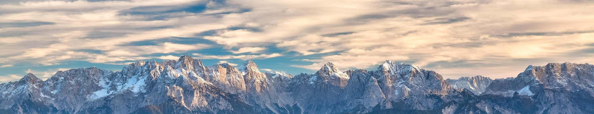
Terrain
General Geography GHNP
Geology
Rock and Soil of GHNP
Hydrology of GHNP: Lifelines of the Great Himalayan National Park
Soil Erosion
Landslides
Destinations
Tirthan Valley
Sainj Valley – A Scenic Gem in the Great Himalayan National Park
Parvati Valley: A Himalayan Escape
Jiwa Nal Valley
Activities
Treks in Great HImalayan National Park
Local Sightseeing GHNP
Season Based Activities in GHNP
Plan
Understanding Current Weather Conditions in GHNP
Accessing the Great Himalayan National Park – How to Reach GHNP
Fees, Rules and Guidelines
Biodiversity
Fauna
Flora
Contact
Contact Details
Emergency Contact Details GHNP
Book Your Stay
Login
Plan Your Trip
Accommodation
Trek Permits
Place of Stay
Forest Rest House Shangharh
Forest Rest House Ropa/ Sainj
Forest Complex – Shai Ropa
Trek names
Rooms
Dormitory
1
2
1
2
3
4
5
6
7
8
9
10
Place of Stay
Forest Rest House Shangharh
Forest Rest House Ropa/ Sainj
Forest Complex – Shai Ropa
Trek names
Rooms
Dormitory
1
2
1
2
3
4
5
6
7
8
9
10
Terrain