Tirthan Valley
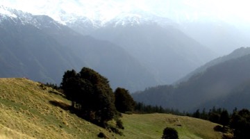
Tirthan Valley, nestled in the eco-rich buffer zone of the Great Himalayan National Park (GHNP), is one of Himachal Pradesh’s most breathtaking yet peaceful destinations. Known for its pristine river, lush pine forests, snow-capped peaks, and vibrant biodiversity, Tirthan Valley is a paradise for nature lovers, trekkers, bird watchers, and those seeking a slow, offbeat Himalayan escape. Located about 70 km from Kullu, this valley offers a perfect blend of untouched wilderness and warm local hospitality, making it a gateway to the wonders of GHNP and a UNESCO World Heritage experience.
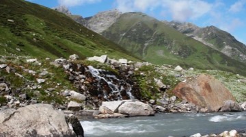
The Valley is named after a sacred water spring called “Tirth” which originates at Hanskund Peak (4800m) and flows down, through deep forested areas. The feeder channel to Tirthan River is fed by deposits of ice, almost all round the year. After covering a distance of 70Kms from the source, it joins Palchan Nallah at Gushaini. The Tirthan River forms the Valley in its origin at Tirth and continues till Larji, where Tirthan and Sainj streams merge with the Beas River. Some of its tributaries rise from aquifers and come out, on the surface, as springs.
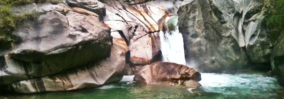
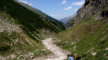
Tirthan River flows along a deep V- shaped valley in its upper reaches. The Valley is fairly open and wide near its confluence with the Beas River. The main geomorphic features of the Tirthan valley are incised meanders, river built and river-cut terraces, cliffs, and steep slopes. The entire catchment of this river is covered by alpine, sub-alpine, temperate and sub-tropical coniferous and deciduous forests. Human habitation is there in the form of small villages that exist along the river. The Valley is scenic, full of secluded hamlets, waterfalls, cedrus and pine forests. The valley covers an area of 754 Sq. Kms and the same constitutes Tirthan Wildlife Sanctuary and part of GHNP.
Tirthan Valley isn’t just a destination—it’s a way of experiencing the Himalayas with authenticity and care. Whether you’re hiking through the GHNP trails, fishing in the icy-cold Tirthan River, or simply enjoying the sounds of nature from a traditional homestay, the valley invites you to reconnect with what truly matters. As part of the Great Himalayan National Park’s buffer zone, Tirthan Valley remains protected, pristine, and people-friendly—making it a must-visit for every responsible traveler seeking beauty with purpose.
Other Destinations